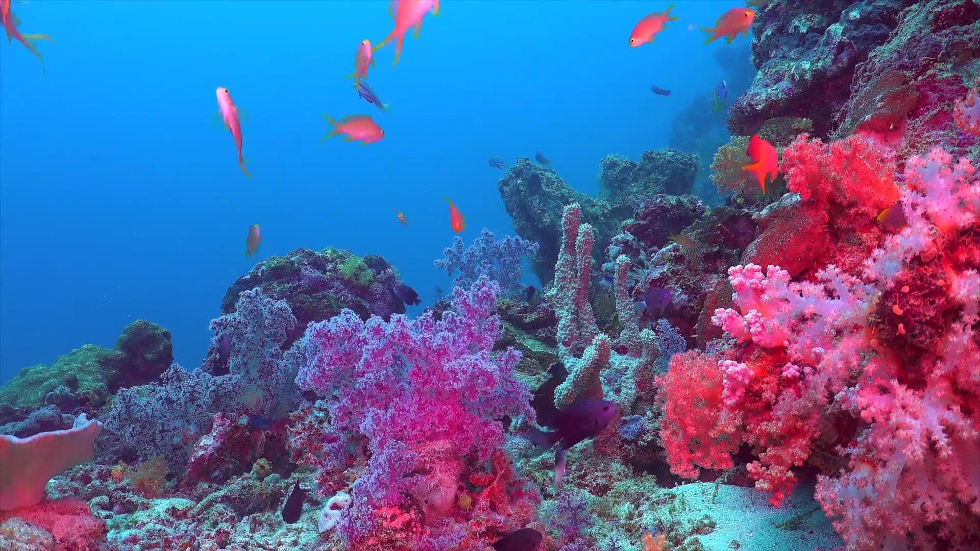
The Largest Organization of Black Scuba Divers in the World
Training • Travel • Community • Youth • Conservation
Dive. Connect. Lead. Since 1991
The National Association of Black Scuba Divers brings together a powerful community of divers through education, leadership, culture, and adventure.
Founded in 1991 by Ric Powell and Dr. A. Jose Jones, NABS was created to foster camaraderie and opportunity in the diving community. Today, NABS connects members across the country and internationally.

Memberships
Stream2Sea is the go-to destination for environmentally safe and sustainable sunscreen and skincare products. With a commitment to protecting our oceans and reefs, Stream2Sea offers a wide range of sunscreens, including Every Day Mineral Sunscreens, Original Water Sport, Ecosticks, SPF Lip Balms, and Tinted SPF. Additionally, they provide various skincare products for hair, aftersun, body care, face & lips, and hands & feet.
Kay’s Kreations is your go-to destination for personalized, stylish, and practical gifts. Proudly Black-owned, Kay’s Kreations brings creativity, quality, and culture to every handcrafted item. Specializing in customized products for the NABS Summit, Kay’s Kreations offers monogrammed gaiters, personalized cups, wireless chargers, and more—each designed to reflect your unique style and the spirit of the summit. Whether you’re preparing for a special event or want to stand out with custom flair, Kay’s Kreations delivers with care, pride, and purpose.

You can enjoy a special discount on these fantastic products by using the code Nabsdivers on their website and receive a 20% discount.
Visit stream2sea.com now, and remember to use the code NABS for your exclusive discount.
You can enjoy a special discount on these fantastic products by using the code NABS on their website.
Visit Kays Kreations now, and remember to use the code NABS for your exclusive discount.

News and Updates from NABS

NABS June 2026 Spotlight Diver: Valenda Johnson
Valenda Johnson, also known as “De Phillips,” has been selected as a NABS Spotlight Diver. She is an Advanced Open Water Diver, President of the Nubian Dive Club since 2025, […]
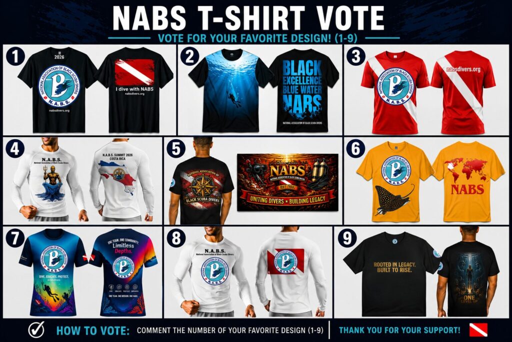
Official 2026 NABS Signature T-Shirt Voting
Official 2026 NABS Signature T-Shirt Voting Voting is now open for the Official 2026 NABS Signature T-Shirt Design! Help us choose the design that will represent NABS in 2026 as […]
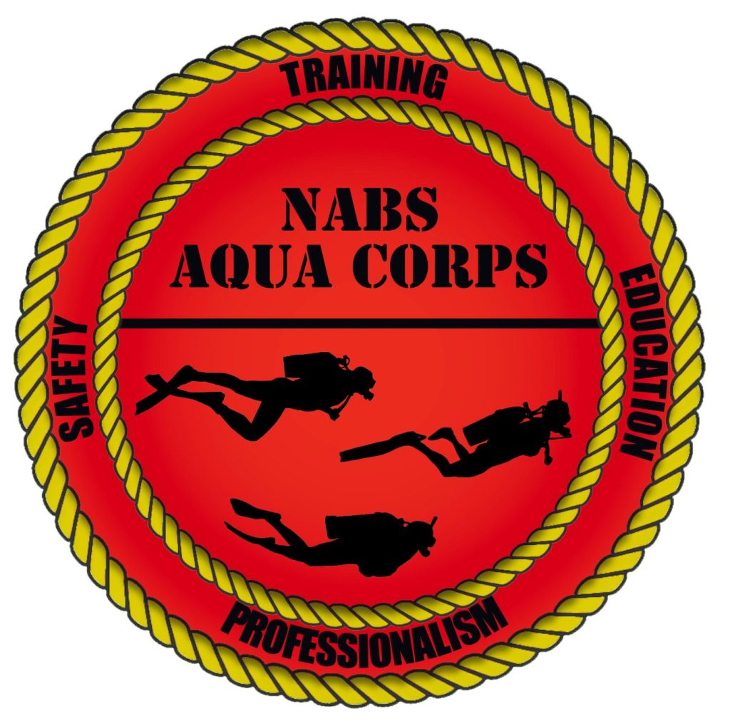
🌊 NABS Aqua Corps Candidacy Application
The NABS Aqua Corps is an elite, safety-centered collective within the National Association of Black Scuba Divers dedicated to advancing dive readiness, emergency preparedness, and leadership development across our network. […]
Got Questions?
Contact US!
Please consider supporting the National Association of Black Scuba Divers (NABS) by making a donation.
Your donation will help NABS continue its mission and provide valuable opportunities for individuals passionate about scuba diving, including our Youth Summit program. We are a non-profit, so your donation is tax-deductible.
Why Join NABS
Community
Connect with divers, clubs, and leaders nationwide
Training & Education
Grow your skills through workshops, symposiums, and dive learning.
National Events
Join summits, meetings, and diving experiences throughout the year
Youth Development
Help inspire the next generation of divers and marine leaders.
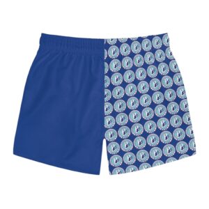
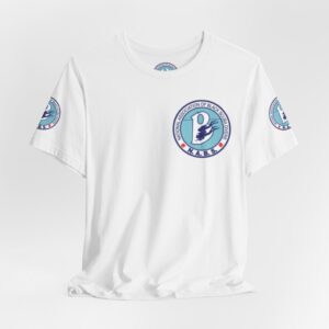
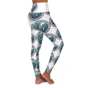
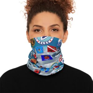
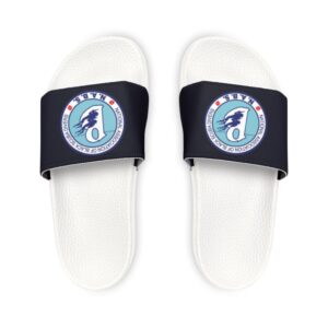
Get Ready for Summer with These NABS Favorites
Gear up for your next dive adventure with official NABS products. Shop rashguards, towels, shirts, and more.
-

Beach Towels
Price range: $22.99 through $51.99 Select options This product has multiple variants. The options may be chosen on the product page -
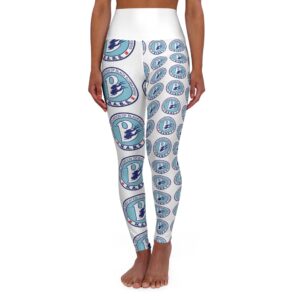
Copy of Copy of High Waisted Yoga Leggings (AOP)
Price range: $50.00 through $63.07 Select options This product has multiple variants. The options may be chosen on the product page -
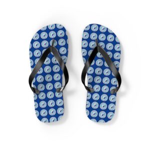
Flip Flops
$19.99 Select options This product has multiple variants. The options may be chosen on the product page
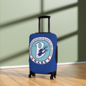
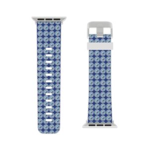
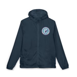
Shop by Category
Explore official NABS merchandise by category and discover apparel, accessories, travel gear, drinkware, electronics, and more designed for divers, travelers, and ocean lovers.
Have questions about NABS membership, merchandise, Summit registration, shipping, or events? Visit our Frequently Asked Questions page for quick answers and helpful information about the NABS experience.
Visit NABS at DEMA Show 2026
Booth #432
November 3–6, 2026
New Orleans, Louisiana
Meet the National Association of Black Scuba Divers and learn about membership, youth programs, conservation, travel opportunities, and upcoming events.